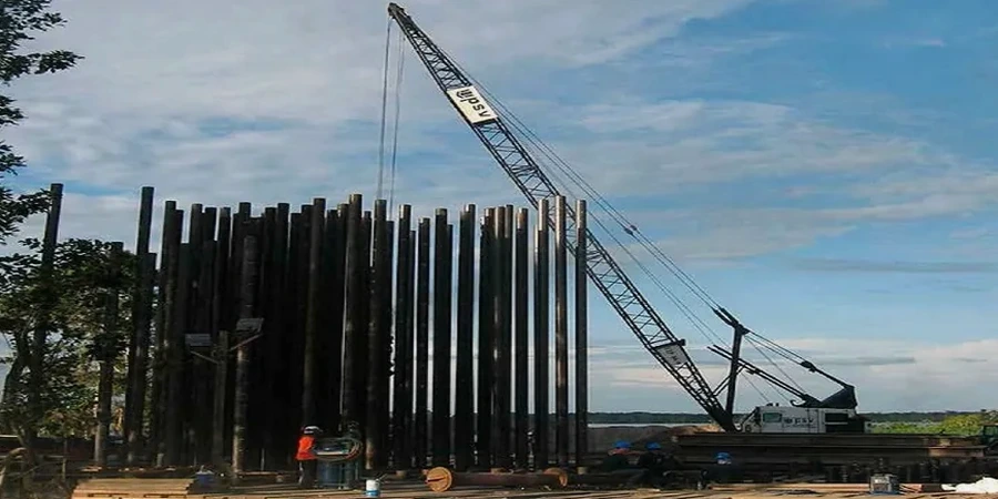
Between the soft clay of the Colorado River floodplain near Lady Bird Lake and the hard limestone ridges west of MoPac, Austin's geology demands a flexible deep foundation approach. Driven pile design in this city requires understanding how end-bearing in the Taylor Marl formation contrasts with friction piles in the alluvial sands of the Onion Creek basin. In West Austin, you often hit competent rock at 30 feet, while in the southeast near the airport, the same pile may need to go 60 feet through stiff clay before finding refusal. That spread makes it essential to run a pile load test program calibrated to your specific lot. Without it, you either overdesign and waste money or underdesign and risk settlement. The team here integrates the local USGS soil maps with on-site SPT data to size each pile for the actual conditions, not a generic table.
In Austin, the transition from expansive clay to competent limestone can happen within a single pile length, making wave equation analysis a necessity, not a luxury.